StatesAndhra Pradesh
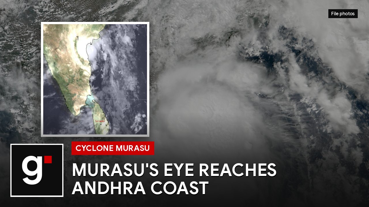
Cyclone Murasu's eye reaches Andhra coast near Ongole as landfall begins
The severe cyclonic storm began crossing the south Andhra Pradesh coast near Kothapatnam before dawn on Tuesday, with winds of up to 120 km/h, as Chief Minister Chandrababu Naidu told people in the worst-hit areas to stay indoors.
Key points
- The eye of Cyclone Murasu touched the south Andhra coast early on Tuesday, the IMD said.
- Winds of 100 to 110 km/h, gusting to 120 km/h, are expected along the coast into the morning.
- A storm surge of up to 1.5 metres may flood low-lying areas in Bapatla, Krishna and Prakasam.
Severe Cyclonic Storm Murasu began crossing the Andhra Pradesh coast before dawn on Tuesday. The India Meteorological Department (IMD) said the eye of the storm had touched the south Andhra coast and part of its wall cloud, the ring of the fiercest winds and rain, had moved onto land.
The storm is coming ashore near Kothapatnam, close to Ongole in Prakasam district. The IMD expected the landfall to take about two more hours, with gale winds of 100 to 110 km/h, gusting to 120 km/h, along and off the coast into the morning. Doppler radars at Chennai and Machilipatnam are tracking it.
Heavy rain and strong winds lashed Kothapatnam beach in the early hours. Ongole had moderate rain, while Nellore to the south had only light drizzle.
Storm surge warning
The IMD warned of a storm surge of 1 to 1.5 metres above the normal tide, enough to flood low-lying areas of south coastal Andhra Pradesh until Tuesday morning. The surge is expected to be highest over Bapatla and in Krishna and Prakasam districts. Heavy rain is forecast along the south coast for the next 12 hours.
On Monday evening the port at Nizampatnam had raised danger signal 10, the highest, with signal 9 at Machilipatnam. At least 19 domestic flights were cancelled at Vijayawada, Tirupati and Visakhapatnam airports.
Naidu: stay indoors
Chief Minister N Chandrababu Naidu held a teleconference with officials of the affected districts as the storm closed in. He told them to stay on high alert and make preventing loss of life the first priority, and asked people in the worst-hit areas to stay indoors until the storm has passed.
“High speed winds could hit Ongole district during the landfall,” Naidu warned on Monday night. He recalled the deaths during Cyclone Arnab, which hit the state recently, and said they must not be repeated. Staff at village and ward secretariats were told to carry warnings door to door, irrigation officials to guard against breaches in canals and tanks, and power staff to be ready to restore supply quickly if poles come down.
Teams in place
The National Disaster Response Force has 13 of the 37 teams it sent to five states posted in Andhra Pradesh. In Prakasam, Collector P Raja Babu said 26 vulnerable villages in seven coastal mandals had been identified, people living there were moved to cyclone shelters and pregnant women close to delivery were taken to hospital. Schools in the district are closed.
No deaths or damage had been reported by about 5:50 am.