Key points
- IMD asked farmers in Odisha, Gangetic West Bengal and Jharkhand to drain waterlogged fields and postpone rabi sowing.
- Patrapur in Odisha recorded 21 cm of rain in 24 hours, the highest total, ahead of Srikakulam (19 cm).
- Dense fog is forecast over Delhi, Punjab, Haryana and Chandigarh on November 20 to 22, and over Uttar Pradesh on November 22 and 23.
The India Meteorological Department (IMD) has told farmers in Odisha, Gangetic West Bengal and Jharkhand to drain waterlogged fields and postpone rabi sowing until the soil dries, after the rain from Cyclone Akvan spread inland. The advice is in its bulletin of Friday, November 20, issued at 1:40 pm, which also forecasts dense fog across north India through November 23.
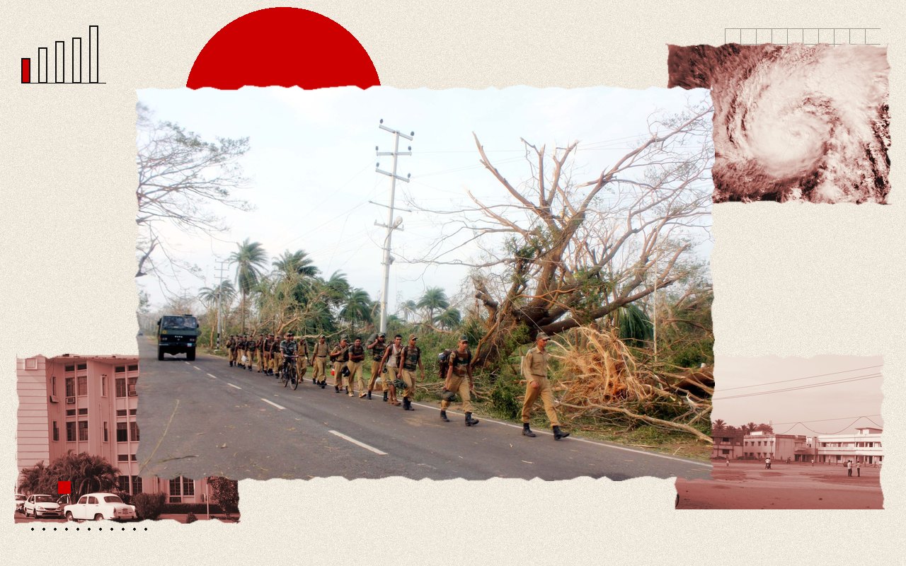
Akvan crossed the coast near Gopalpur, in Odisha’s Ganjam district, between 7:30 and 8:30 am on Friday with winds of 70 to 80 km/h, gusting to 90 km/h. The bulletin says it was moving north-northeast across Odisha and would weaken into a deep depression within three hours and a depression in the following six. Our landfall report has the crossing and the evacuation.
Where the rain fell
In the 24 hours to 8:30 am on Friday, Odisha received extremely heavy rain, above 21 cm in places. Patrapur recorded 21 cm, the highest total in the country, followed by Srikakulam in coastal Andhra Pradesh at 19 cm. Coastal Andhra Pradesh saw very heavy falls of 12 to 20 cm. Gangetic West Bengal and Tripura had heavy rain of 7 to 11 cm, with Kalyani in West Bengal recording 9 cm and Sonamura in Tripura 8 cm.
State figures from Odisha are higher at the station level. According to reports citing Odisha’s figures, Patrapur in Ganjam logged 209 mm, Hinjili 207 mm, Chikiti 199 mm and Gopalpur 190 mm, while Puri had 61.1 mm. Odisha’s Disaster Management Minister Suresh Pujari said there was no major damage or loss of life, and Chief Secretary Anu Garg said “the situation remains under control”. About 3.72 lakh people had been moved to shelters.
What the bulletin warns of next
For Friday, IMD forecast isolated very heavy rain over Odisha, Gangetic West Bengal and Jharkhand. It put the risk of flash floods in parts of the three states at low to moderate through 11:30 am on Saturday, November 21, a window that has now closed. Gale to squally winds along the south Odisha and north Andhra coasts were to ease by Friday evening.
Fishermen were told not to go into the west-central Bay of Bengal until the night of November 20, or the northwest Bay of Bengal until the morning of November 21. The weather office listed the likely damage as tree falls, minor damage to houses, road and rail disruption, waterlogging and localised landslides, and asked people not to shelter under trees.
Why the farm advice matters
Rabi sowing of wheat, pulses and oilseeds begins in November in the eastern states, and seed put into saturated soil can rot or fail to germinate. The department’s advice is to delay sowing until fields have drained, and to drain standing water now. It did not give a date by which sowing should resume. Because Akvan was the third storm to threaten Odisha in 24 days, many of the same fields have had repeated rain.
Fog in the north
Away from the cyclone, the bulletin forecasts dense fog over Haryana, Chandigarh, Delhi and Punjab on November 20 to 22, and over Uttar Pradesh on November 22 and 23. Dense fog usually slows road traffic and delays trains and flights, and the IMD asks people to follow district-wise warnings on its website.
For Delhi and the National Capital Region, it expects maximum temperatures of 24 to 27 degrees Celsius through November 23 and minimums of about 11 to 15 degrees, with mist or shallow fog in the mornings. Tamil Nadu, Kerala, Chhattisgarh and the northeast are forecast to have isolated to scattered rain over the coming days. West India is expected to see no significant weather during the week.
What happens next
The fog alert covers Delhi, Haryana, Chandigarh and Punjab through Sunday, November 22, and Uttar Pradesh on Sunday and Monday, November 22 and 23. IMD updates its district-wise warnings on its website. Its Saturday bulletin could not be opened for this report, so any change to the forecast is not reflected here.
The documents
- Press release, 20 November 2026 (issued 1340 IST)India Meteorological Department, November 20, 2026